
A place rich in history, we read the pamphlet eagerly….
….”Three generations of McCormick’s, the descendants of Cyrus McCormick, inventor of the reaping machine, held the deed to this area before Gordon McCormick willed the land to the U.S. Forest Service. McCormick Wilderness has recovered from the logging era that ended in the early 1900’s. Today, you’ll find a mixture of northern hardwoods and lowland conifers interspersed with small patches of towering white pine, Michigan’s State Tree. Straddling the divide between Lake Superior and Lake Michigan, this region ranges from nearly level terrain to rocky cliffs. McCormick’s water is what draws most visitors, with the Huron, Dead, Pahokee, and the Wild and Scenic Yellow Dog Rivers all have part of their headwaters within the wilderness. Many cascading waterfalls on the Yellow Dog make it unnavigable. The Yellow Dog is one of a few Eastern rivers designated “Wild”. Eighteen small lakes add sparkle to the landscape. Trout, pike, and bass live here, but only in small numbers due to the less-than-fertile-waters. The three mile White Lake Trail connects County Road 607 to White Deer Lake where the McCormick Estate once stood. Remnants of old, unmaintained trails can sometimes be found, but the rest of the Wilderness is fairly rugged, isolated, unspoiled, and relatively difficult to access.”
Excerpt: US Forest Service
Facts seem to vary given the source, but no matter where one looks, it’s clear the McCormick’s of Chicago were no ordinary family. Eventually becoming principals of International Harvester Co. they amassed a fortune. Their interest in hunting and fishing led them to seek a place where several headwaters were nearby and lakes abounded. We wanted to find out what was unique about this area as Fortune Bay Expedition Team pushes to explore the Western UP beyond the tourist destinations.
A double edged excursion, the McCormick would be explored by an Overland Team and a Dismounted Team. The Overland Team consisted of team leader Jeremy Werner “Blue”, Nate Baker “Short Straw” and son, James Kooistra “Tomahawk”, and Marvin Enger “Cupcake”. The Dismounted Team had team leader Mike Pemberton “Spock”, Lance Owens “Dr. Piton”, Kevin Cook “Yellowcake”, Mike Cornelius “Seadog”, Bill Knarian “Sgt. Maj.”, Larri Luthy “Loveboat”, and Katie Pemberton “Kneehigh”.

After a lovely evening at an out-of-the-way camping spot where everyone could meet up and get re-acquainted, we rested up for the upcoming day.
The Mission: The Overland Team would explore roads and trails that seemed passible on maps and perhaps find some pathways that were not marked on maps. They would record GPS tracks and provide a reference for future trips as to the trail’s condition and terminus.
The Dismounted Team hiked a known trail to locate the family compound ruins and check for possible climbing opportunities along the way. If we really had our way, we would devise a way to cross the 150’ gap between the shore and the only island on White Deer Lake and make camp on the island itself. We planned to build a raft out of any suitable materials we could find near the shore with minimal environmental impact. We weren’t going to be chopping any trees down. We did bring in a long length of climbing rope to use as a ferry line should we find a way to the island.
FBET Kennari Chuck Hayden “Pathfinder” planned to explore overland and later hike cross country to rendezvous with the Dismounted Team.


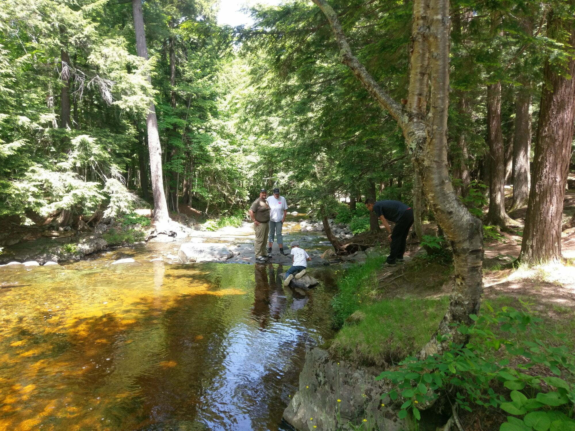
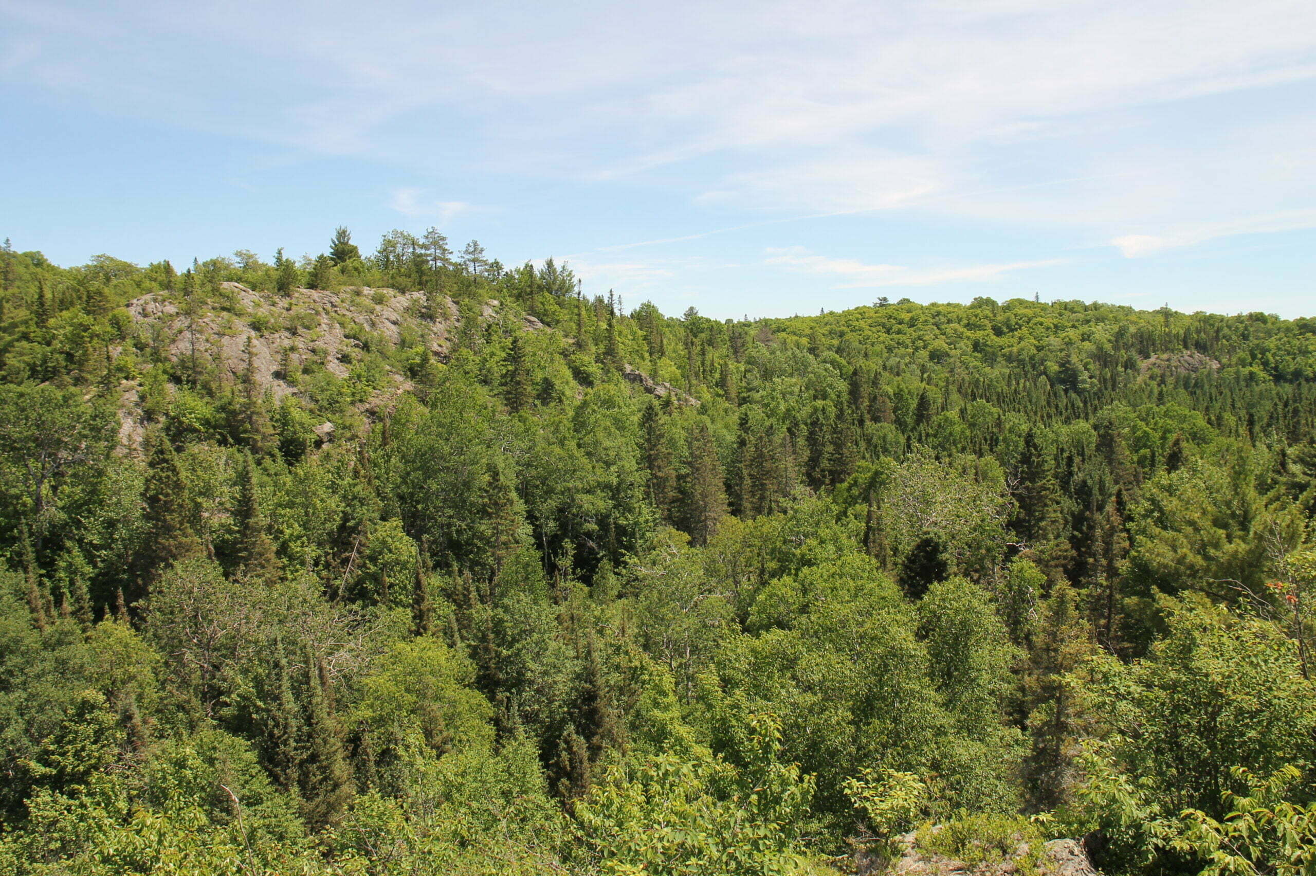
The trail to White Deer Lake, named for the albino deer the McCormick’s sighted frequently, was very straight forward. Heavy rain had preceded us and much of the path was under 6” of muck. We made our way around obstacles having to traverse a few steep rock faces. A little team work made the hike easier and we all had a chance to see first-hand why the McCormick family was attracted to this area in the first place. The river valleys surrounded by rock cuts covered in old growth hardwood and scrubby cedar forest was a sign that this was true rugged country. Unlike ‘common’ hiking grounds popular to visit, this area was devoid of spur trails and, apart from the trail ahead, nearly devoid of human sign. The trail was popular with the local Elk herd though! Moose are also known to be in the area.


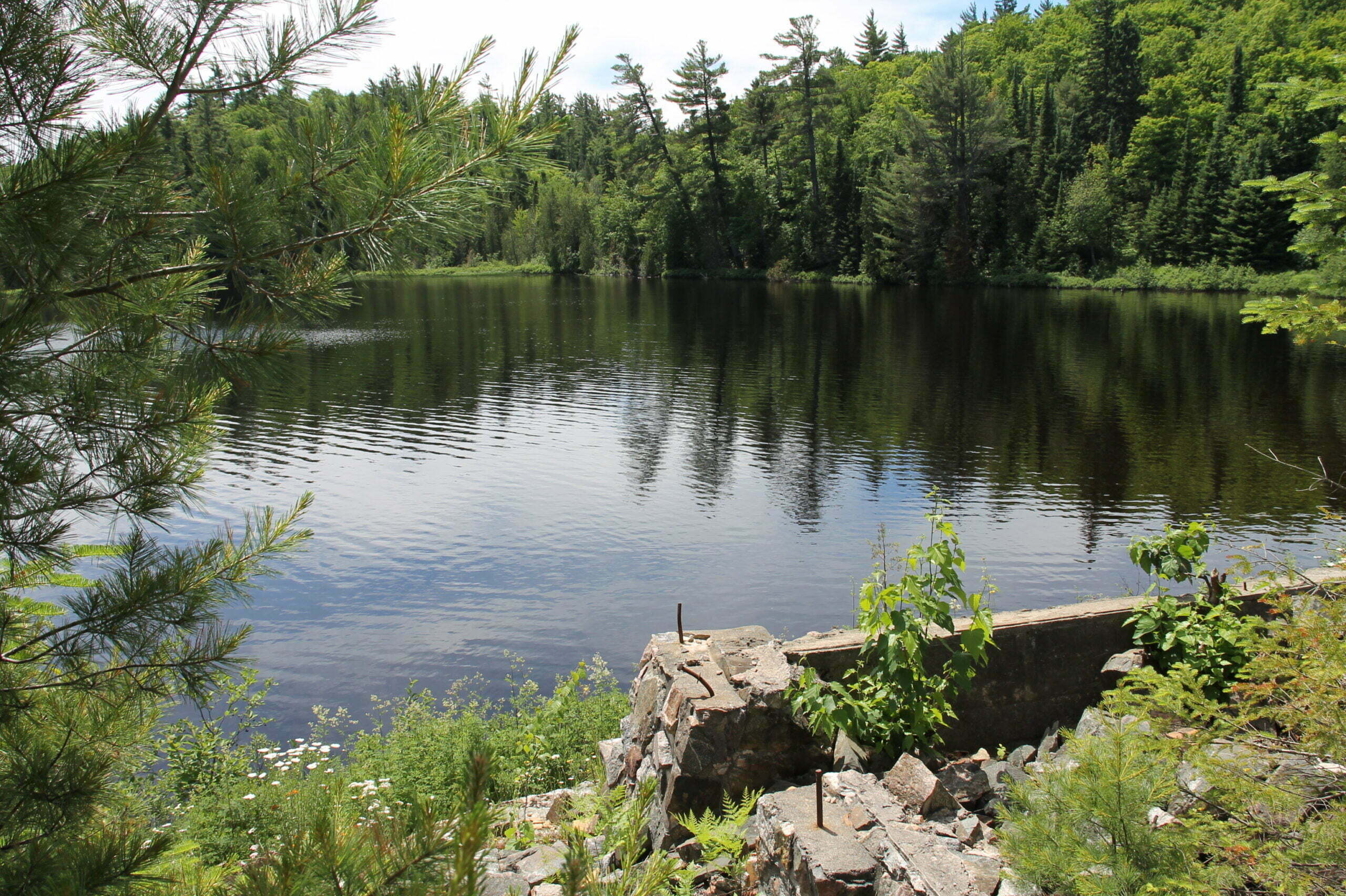
Eventually, we came to a more open area where some stone and concrete foundations remain. Through the thick foliage we could see the deep blue color of the lake. Temps were in the mid 80’s and we were all looking forward to all that cool water. After some pictures and relaxing we headed downhill past even more foundations in search of the shore.


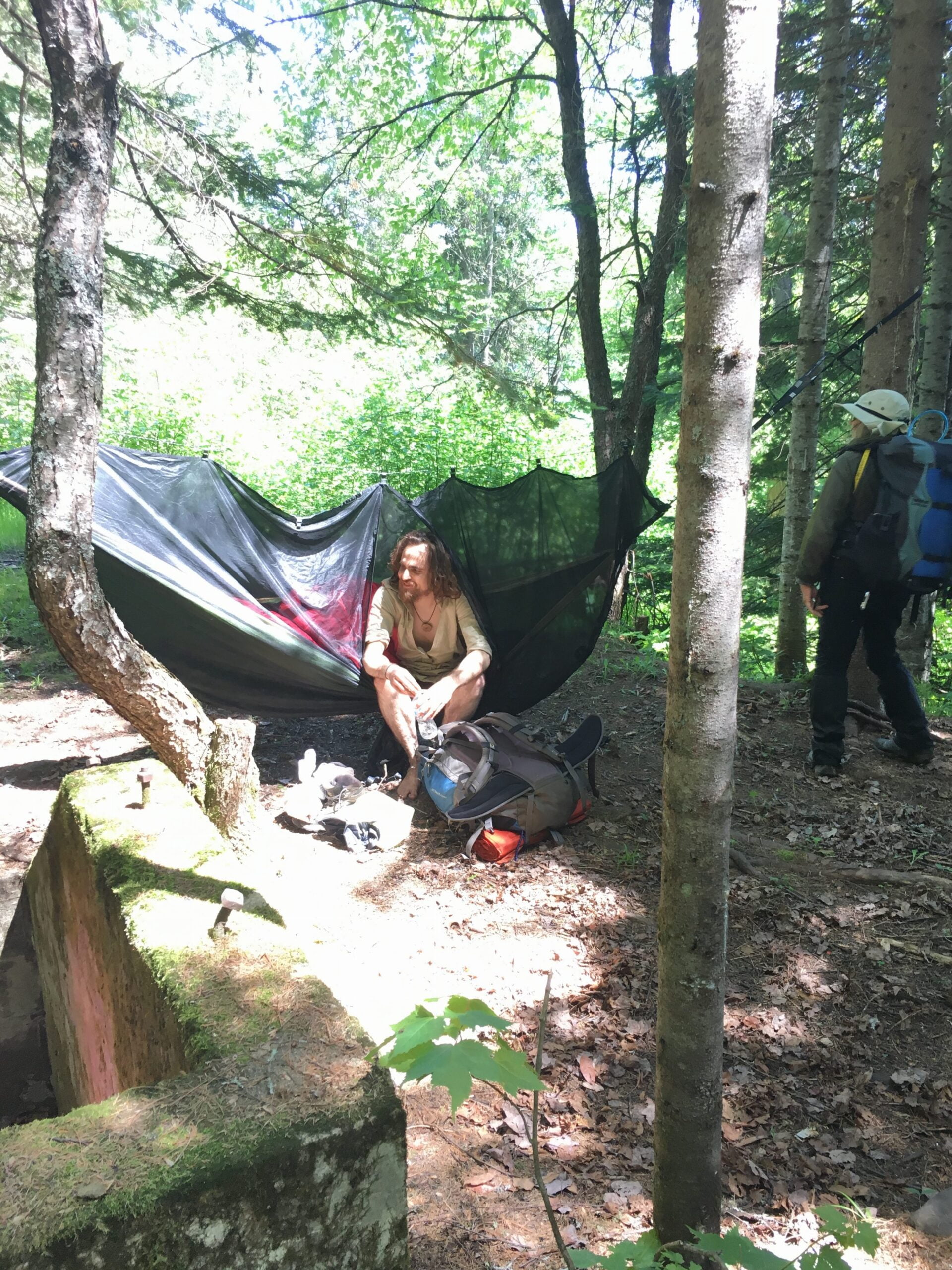
It was then that we came upon another person. Perhaps the luckiest possible encounter your author has ever known in the wilderness. This nice person was enjoying the area by hammock solo and he told us how he was from Marquette and came out to have a visit. In many ways, we were sorry we had disturbed him. We had foiled his plan for solitude and we tried to make our encounter as low profile as possible.
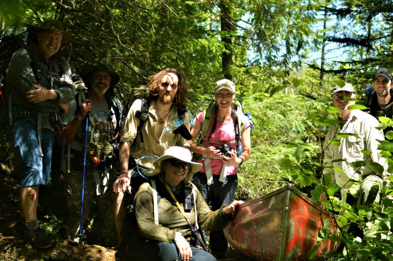
We got chatting and revealed our plan to make an attempt at a raft to reach the island. He congratulated us on our obvious zest for adventure. In nearly the same moment, he motioned with his hand “yonder” and said, “A raft sounds just fine….or you could use the canoe I found stashed about 100 yards over there.” In disbelief, your author asked him “What color is the canoe?”, somehow thinking he must be joking. “Red”, he said without hesitation. And so we hiked following his lead. And sure enough, stashed between two monster slabs of pre-cambrian black rock, lay a little red 12’ aluminum canoe. We quickly decided maybe we should borrow it for a bit.

Finding a launch point was interesting. The shore was thick with bushy vegetation but we managed to get it floating and yours truly, borrowing Sgt. Maj.’s hiking pole as a paddle, made his way to where a break in the bushes could access the team. The climbing line was paddled to the island, paying out as the canoe neared the opposite shore. The line was anchored to both shores and a quick paddle-less shuttle boat was in service!
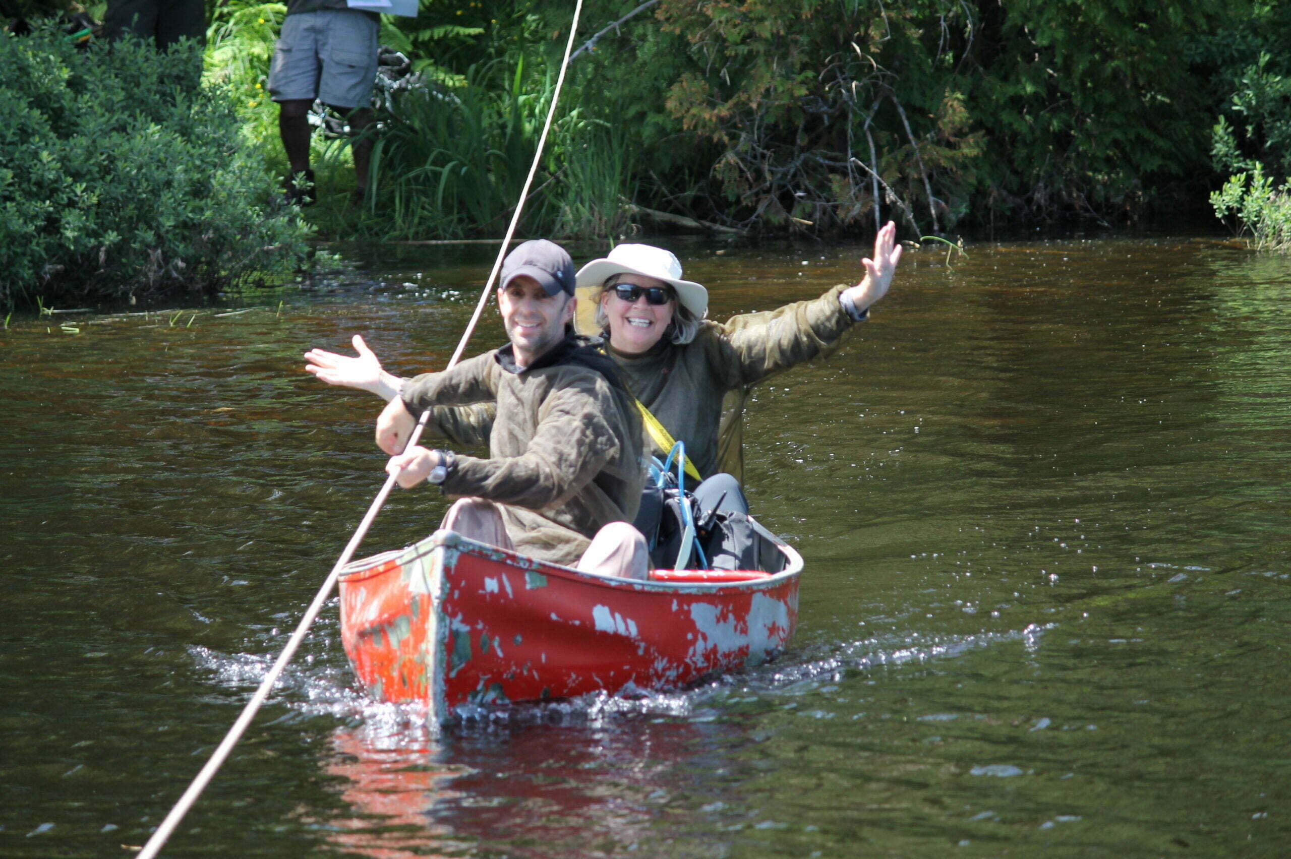


Having ferried all seven souls to the island safely we beached our new favorite boat in the world and gave the island a serious look.
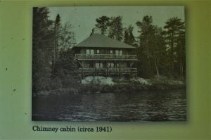
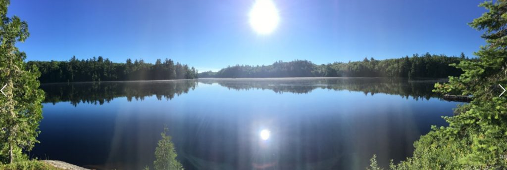
About an acre in total, the island once had five cabins of various design and purpose offering fantastic lake views. All that remains now are stone and concrete foundations and perhaps only 10% of the biting bugs we had battled on the mainland. Had we found paradise? We thought so. The lake was suitable for swimming and a few took part. The day passed by almost unnoticed. It was a slice of Michigan few know exist let alone visit. This was the right stuff. Everyone set up their respective campsites and we gathered around a foundation area that offered lots of built in seating. The site once held the main cabin with a south facing wall of glass perfect for the view.


“Did someone’s radio just receive something?” A familiar voice repeated the radio call. “Spock this is Pathfinder, over.” After a full day of cross country bush whacking, Pathfinder was making his final approach to our location and called three minutes out. We prepared the ferry!
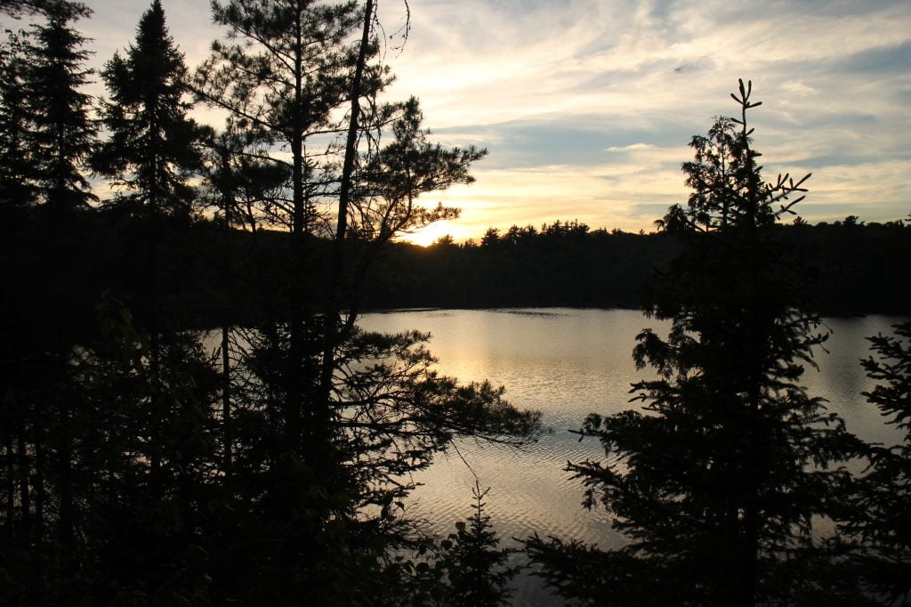
Having taken a more backcountry route to the camp, Pathfinder was ready for a break. Part of our mission was to locate suitable climbing faces and neither team was really logging much progress in that department. The area away from the lakes is either low swampy goo or low to medium angle rock difficult to hike through. There were a few places along the hiking trail that we wanted to look at more closely the next day but for now we were enjoying each other’s company as the sun neared the tree line. With two hours of light left, Pathfinder headed back out to retrieve his overnight gear and reconnect with his Jeep. We had a small fire and watched the sunset. Everyone was ready to turn in, and good thing. The mosquitoes found the island in force at sunset.
Day 1 complete.
For their part, the Overland Team had an enjoyable Day 1 traveling north into the wilderness and taking note of all sorts of paths and trails. They spent the night on the shore of Lake Superior at a location they were able to access with their vehicles all the way to the beach. They made quick work of trail obstacles, reportedly being forced to assist a Jeep off a high center in sand only once. Years of experience and practice make getting unstuck quick and easy. No harm done.


Day 2 started out the reverse of Day 1. Take in the amazing morning view, put calories in, break camp, ferry everyone off the island, retrieve the ferry line, stash the canoe, and hike! The 3.5 mile trek back to our vehicles went pretty smooth and we took note of a rock face that looked promising the day before. There were other good looking rock faces on the topo map that we wished to see first-hand. We planned to regroup at the vehicles, grab lunch, and redeploy with only day packs to explore high points as much as possible.
The Overland Team spent the morning of Day 2 scouting around and eventually met the Dismounted Team at the original trailhead. We all arrived at the trailhead within a few minutes of each other. When a plan comes together….
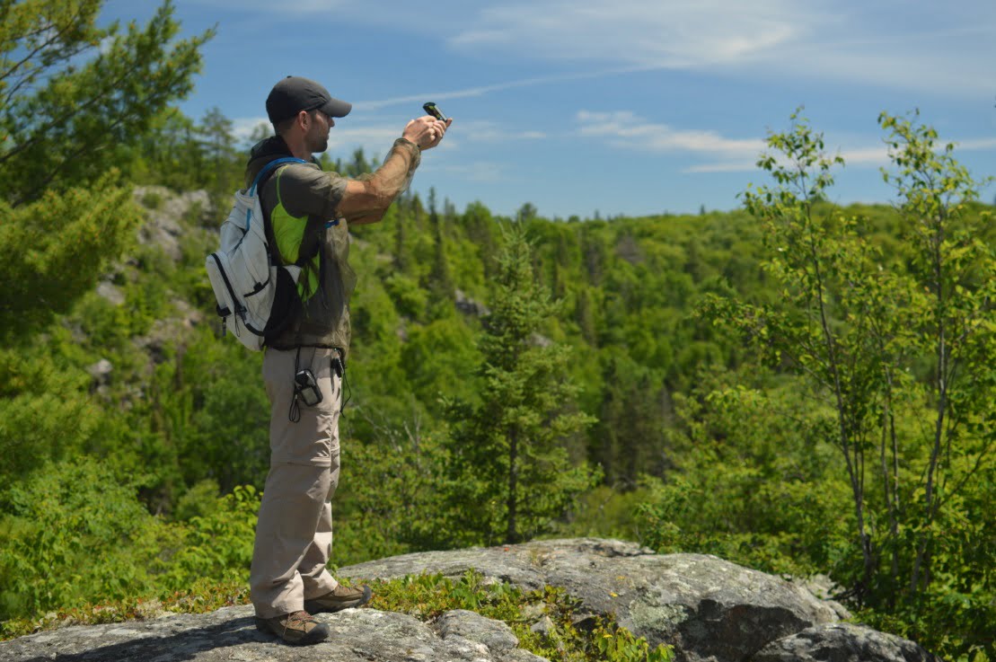
Clear blue skies and dry warm air made a nice lunch break at the vehicles. A couple dismounted members stayed back while the others first hiked a spur trail only 200m from the trail head that appeared to connect to the North Country Trail. The NCT passes just to the south of the wilderness area. The map showed some promising elevation grades that might be fun for rope work. We looked closely at a few spots, but none were quite steep enough to be free of trees. We needed a cliff.
Abandoning the NCT spur we headed down the White Deer Lake trail once again and this time veered off trail to try to access the backside of what looked like a pretty tall cliff. Thankfully there was a way up and the view was outstanding. A radio tower was visible and clearly marked on our map, so an accurate azimuth was recorded for later reference. Now we will be able to find the exact spot in any season and landmarks change dramatically from summer to winter. We marked the location on GPS as well but it’s nice to have an azimuth to a fixed object. The cliff and hill has several opportunities for fun rope work. We’ll be back for this one.


The Overland Team departed the trail head in search of an overnight location a bit closer to home while the Dismounted Team was cliff hunting. Once back on the main roads and in cell service the top-secret beach location was relayed and off we went.
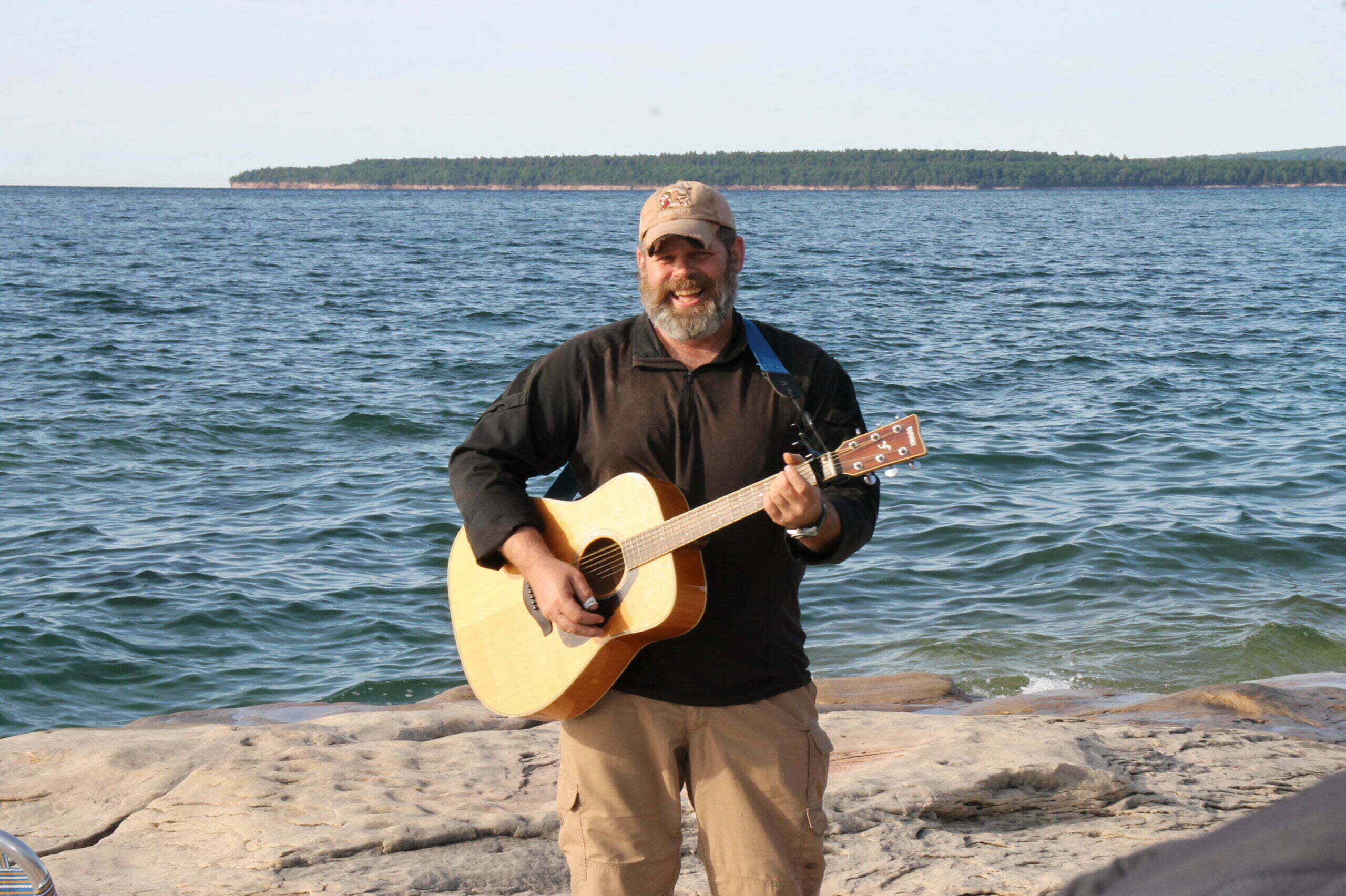
At an undisclosed Lake Superior shore location complete with a view of Grand Island and a fresh north breeze, we had plenty of space to stretch out and sing songs, burn a fire, fly a drone, eat a dinner, and chat about our adventures. With the setting sun we said our good-nights and headed off to bed. We disbanded after breakfast and made the trek home to tell our tales.


Perhaps we shall bring some ropes or bikes next time. The area has much to offer given the changing seasons and we look forward to the next opportunity to Go Farther.
– By Mike Pemberton “Spock”
